
Project - Spatial Data Analysis for Real-World Decisions
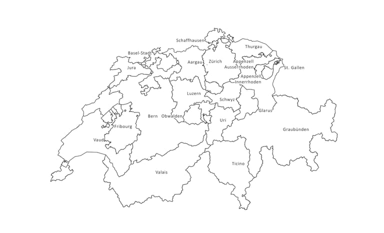
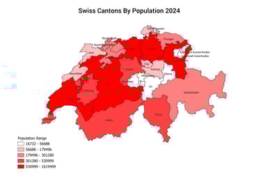
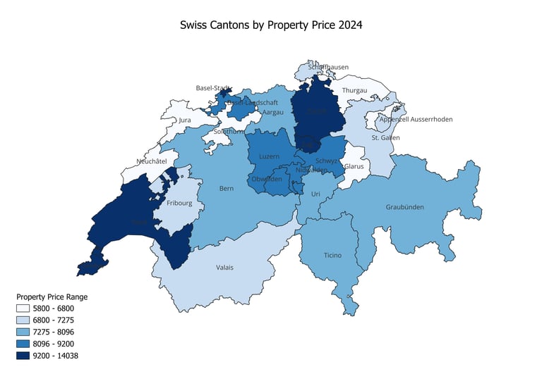
This project is a progressive learning experience designed for high school, undergraduate, and master’s level students. Using QGIS, students explore Swiss canton-level data to develop professional GIS mapping skills while understanding the policy relevance of spatial data. The project simulates real-world workflows used by governments, UN agencies, and organizations like the World Bank for regional planning and data analysis. By the end of the project, students will not only be able to create professional maps but also critically interpret spatial data to inform real-world decision-making. These skills will prepare them for future academic research, business/policy analysis, and professional roles in sustainable development and urban planning.

Master essential Excel skills for economic data analysis and visualization.
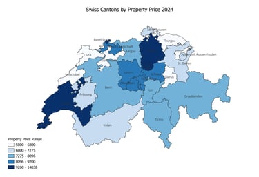
Understand and interpret key economic indicators like housing prices.
Apply descriptive statistics, correlation, and regression to analyze economic relationships.
Analyze time series data using moving averages and forecasting techniques.
Create clear charts and write concise, data-driven economic reports.
Build confidence to independently apply economic analysis in real-world contexts.

Phase 1
Foundations of Economic Data Analysis
Phase 2
Statistical Analysis and Economic Relationships
Phase 3
Advanced Time Series Analysis and Economic Forecasting
Learning
Outcomes